SolutionCentres Organisation (UK) [Beta]
● Professional & Social Networking Reimagined ●
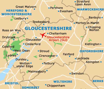
Gloucestershire County
Gloucestershire County Council